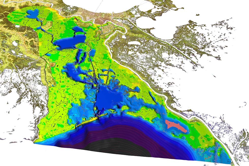
Scientific Visualization of the Barataria BayBP Gulf Research InitiativeThe BP Gulf Research Initiative is a collaboration between faculty and staff of LSU's School of the Coast and Environment, LSU Center for Computation and Technology (CCT) and the Naval Research Laboratory, Stennis (NRL) tasked with enhancing the state of Louisiana's ability to observe and model near-coastal circulation along the Louisiana coast for use within the state's broader oil spill prediction system.Barataria Bay EstuaryBarataria Bay is a 120 km long estuary located in the north-central Gulf of Mexico, just to the west of the Mississippi River Delta. It is bounded by the Mississippi River to the east and by a former channel of the Mississippi River, Bayou Lafourche, to the west. The estuary is connected to the Gulf of Mexico through four tidal passes and contains several large lakes and numerous marshes interconnected by ponds and channels. The average depth is only about 2 m but there are several deeper channels (e.g., ~ 4 m deep Barataria Bay Waterway) and tidal inlets (e.g., ~ 20 m deep Barataria Pass). Here we explore a triangular mesh consisting out of 63190 vertices and 125038 triangle elements, covering a total area of 3140km2, out of which 2950km2 is open water. The grid resolution ranges from 18m in the channels to 1600m over wetlands and open water bodies. This mesh carrying precise bathymetric information is the basis for several numerical hydrodynamic models.
Oil Spill Trajectories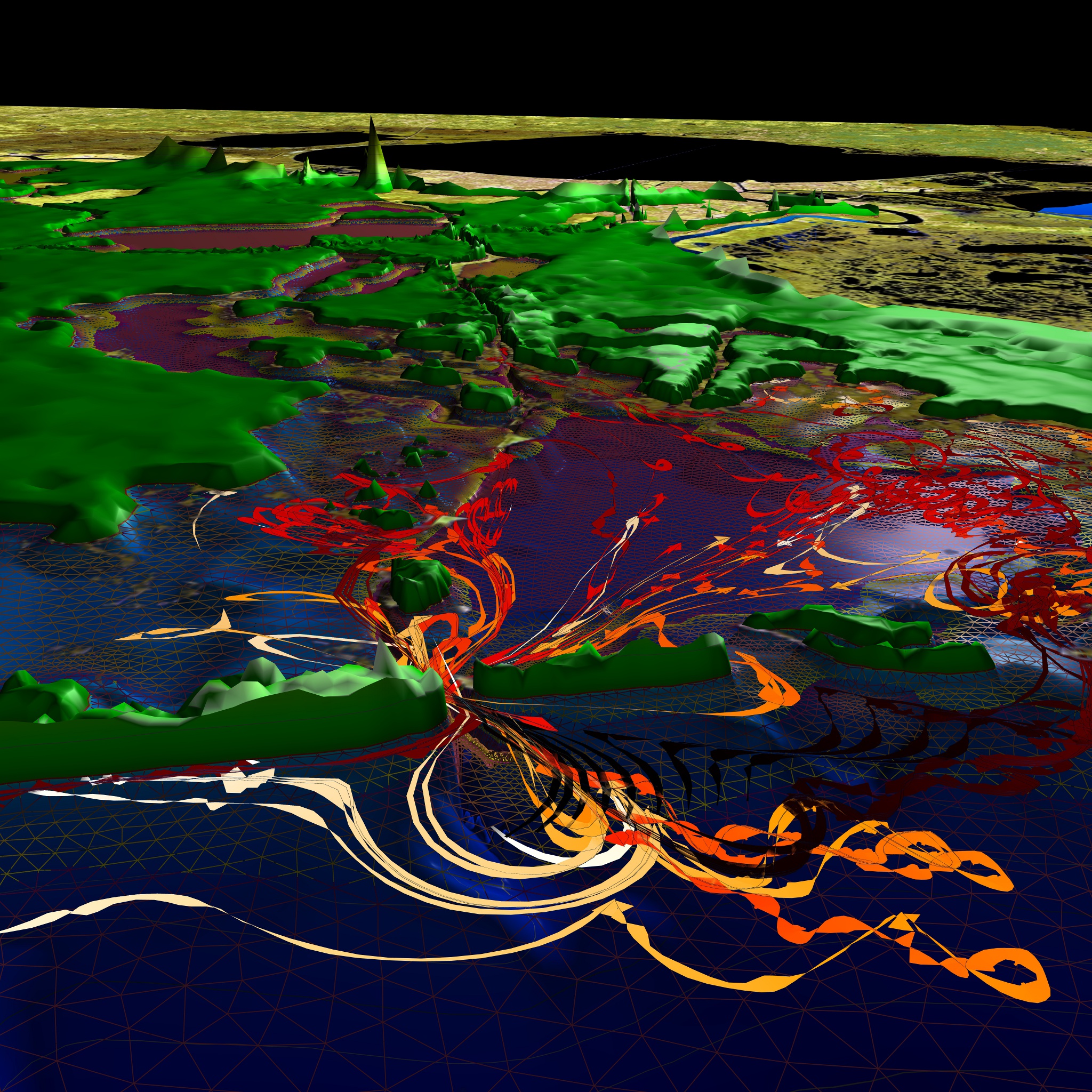
|
© 2005-2010 Center for Computation & Technology at Louisiana State University
Web Design by Amanda Long, Ana Buleu, Werner Benger