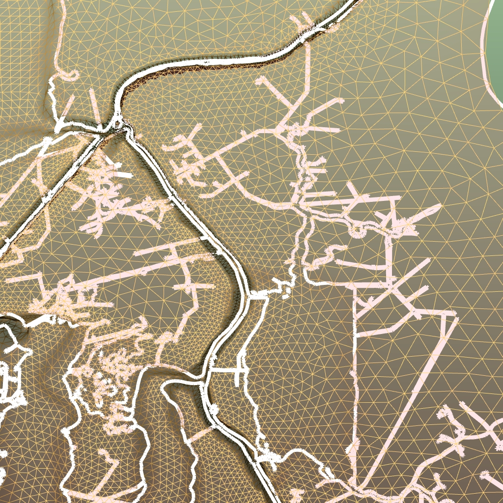
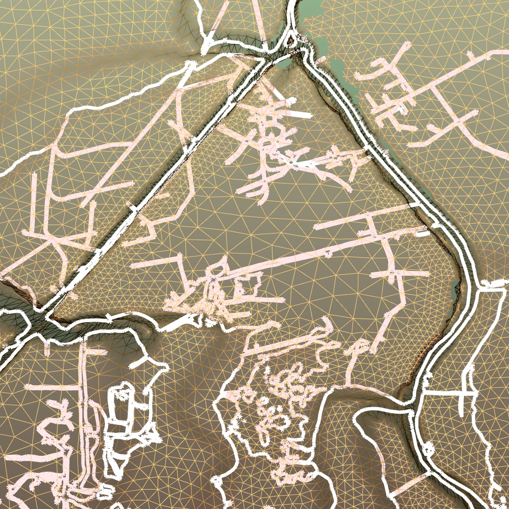
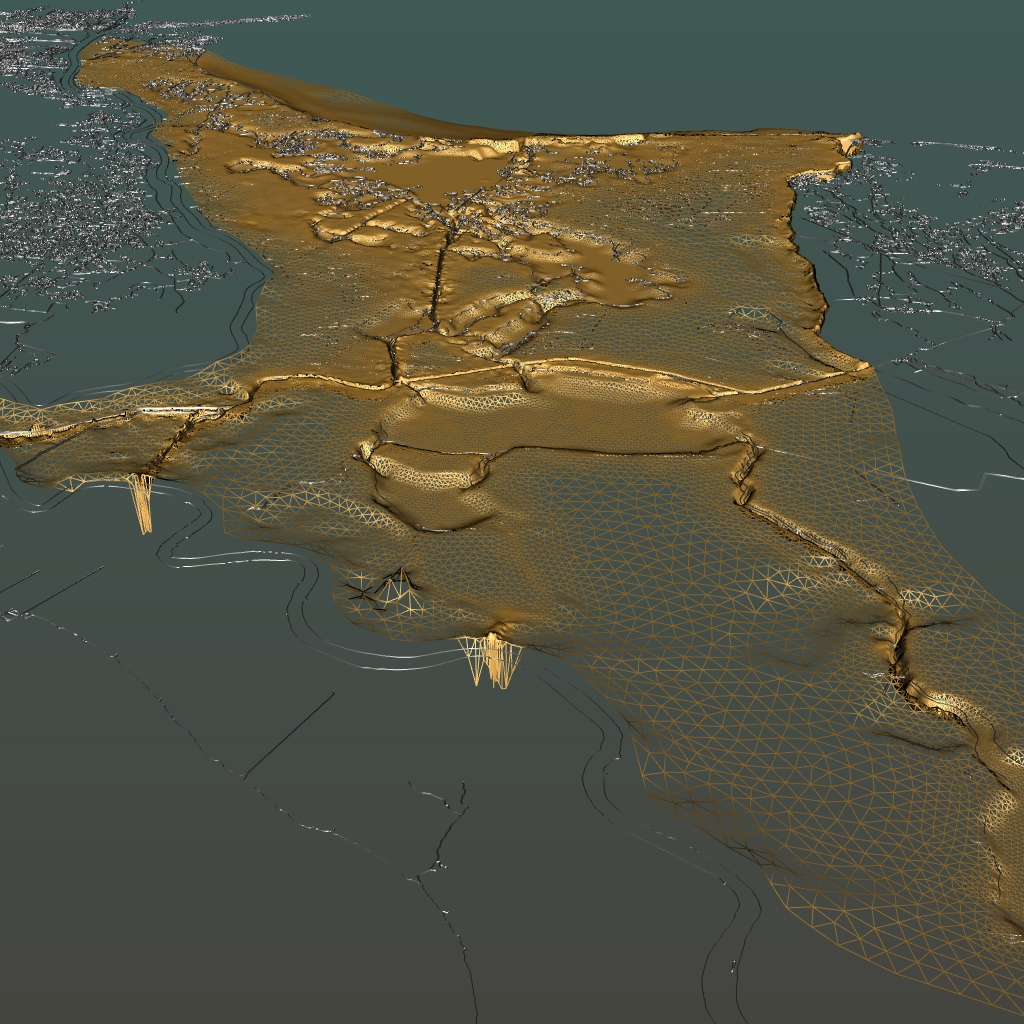
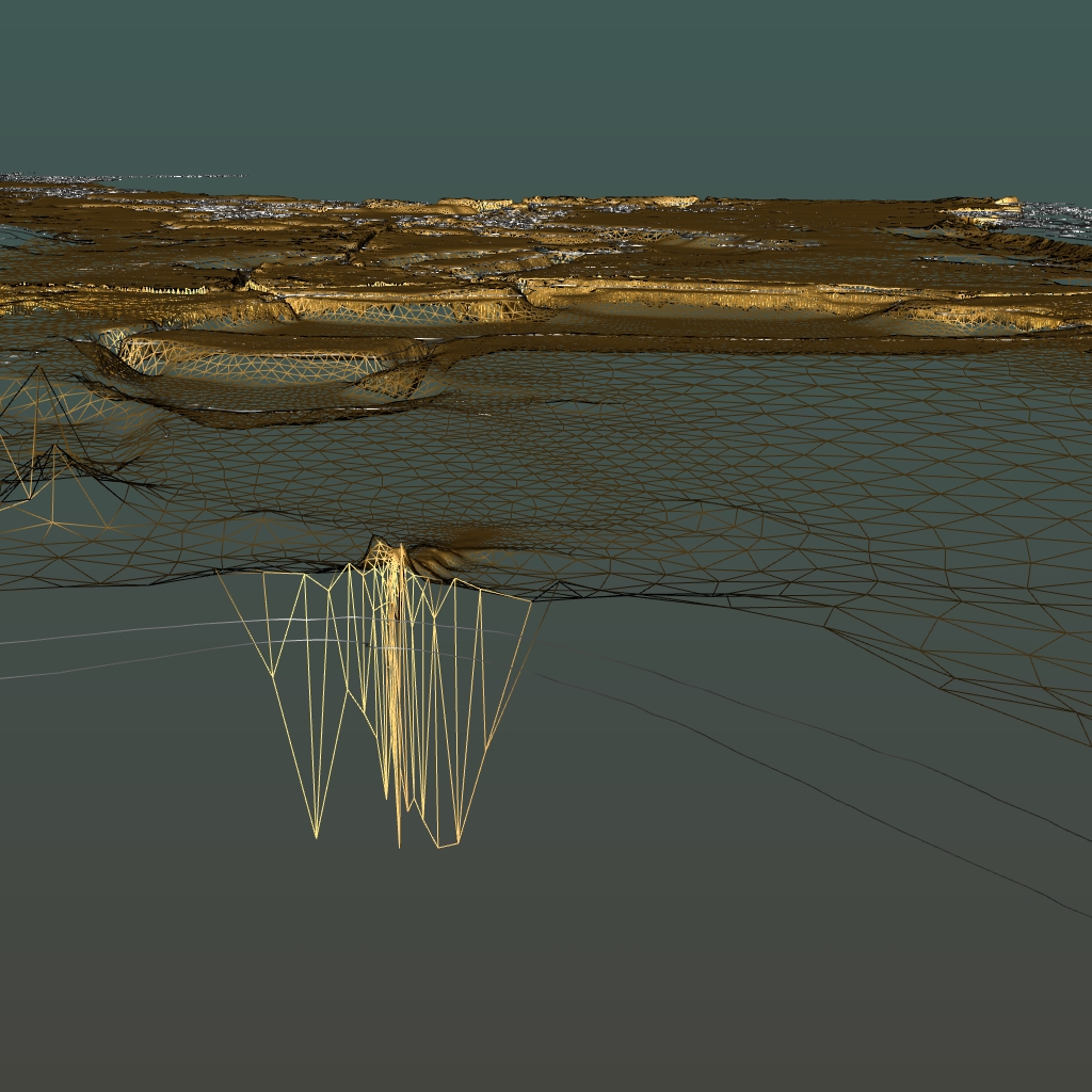
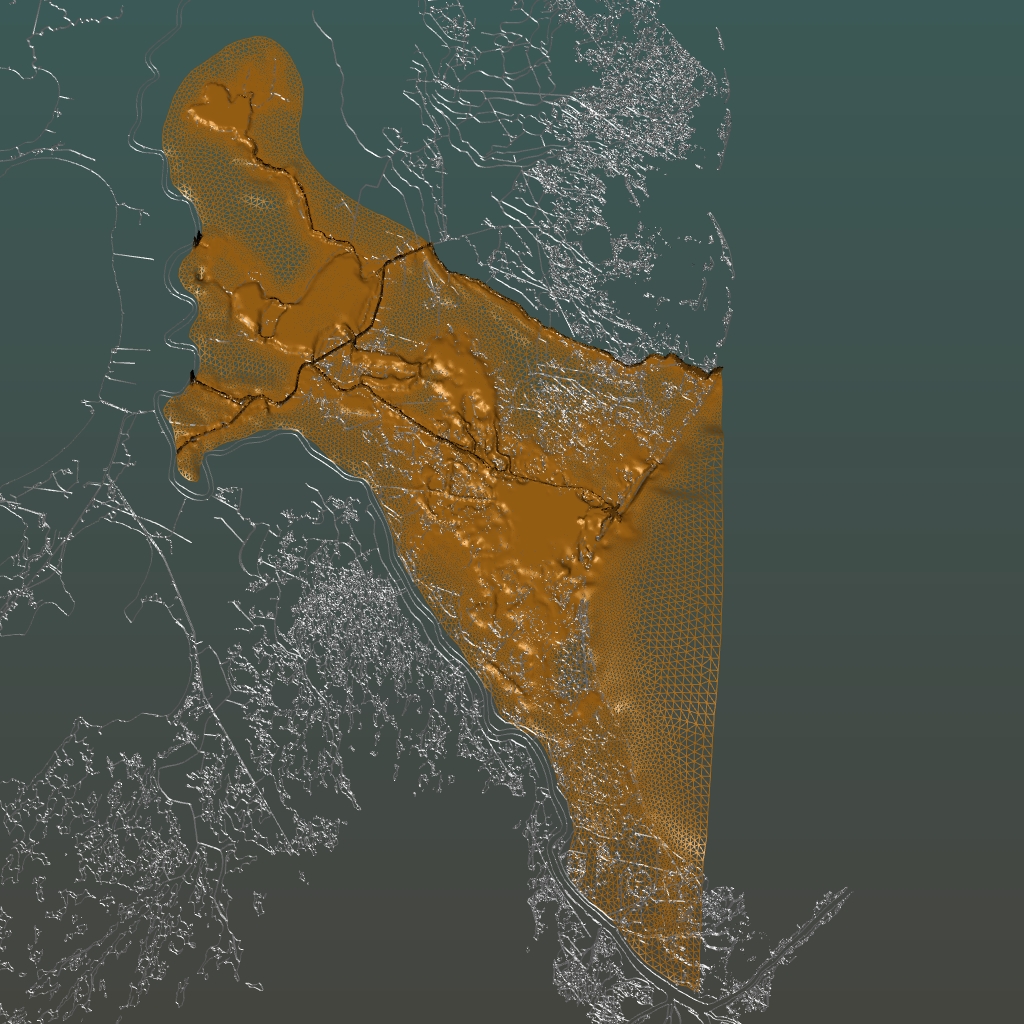
3rd Step: Integrating Gulf Coast Shapefile with Barataria Mesh
Observations and Modeling to Advance
Louisiana’s Coastal Circulation and Oil Spill Prediction System
Integration of Shapefile Coastline with Baratanria Bay
Datafile
The shape file is downloaded from the link : http://gcoos.tamu.edu/products/topography/Shoreline.html
The shapefile is first changed to f5 file using the converter. The path for the converter is cd vish/fish/fiber/F5apps/converters/GeoSciences/ShapefileToF5.
Compile the ShapefileToF5 folder using “make” and then run the downloaded shapefile in the folder where it is saved. After that the shapefile is converted into f5 file which is then integrated with Barataria Bay f5 file.
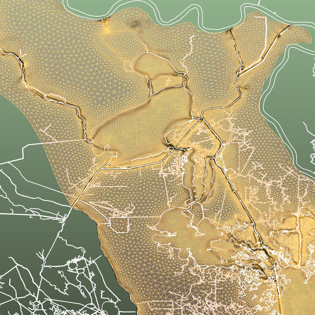
The combined file is opened using the command: ~/vish/bin/vish BaratanriaBay.f5 gom_medium_shoreline.f5
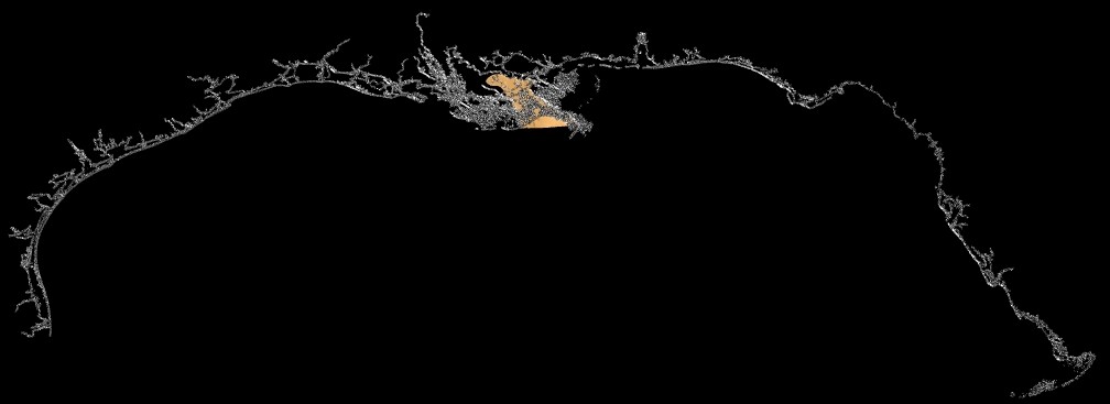
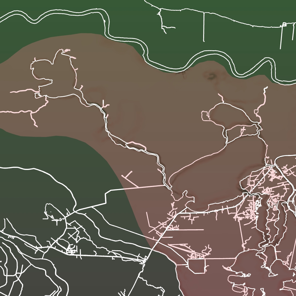
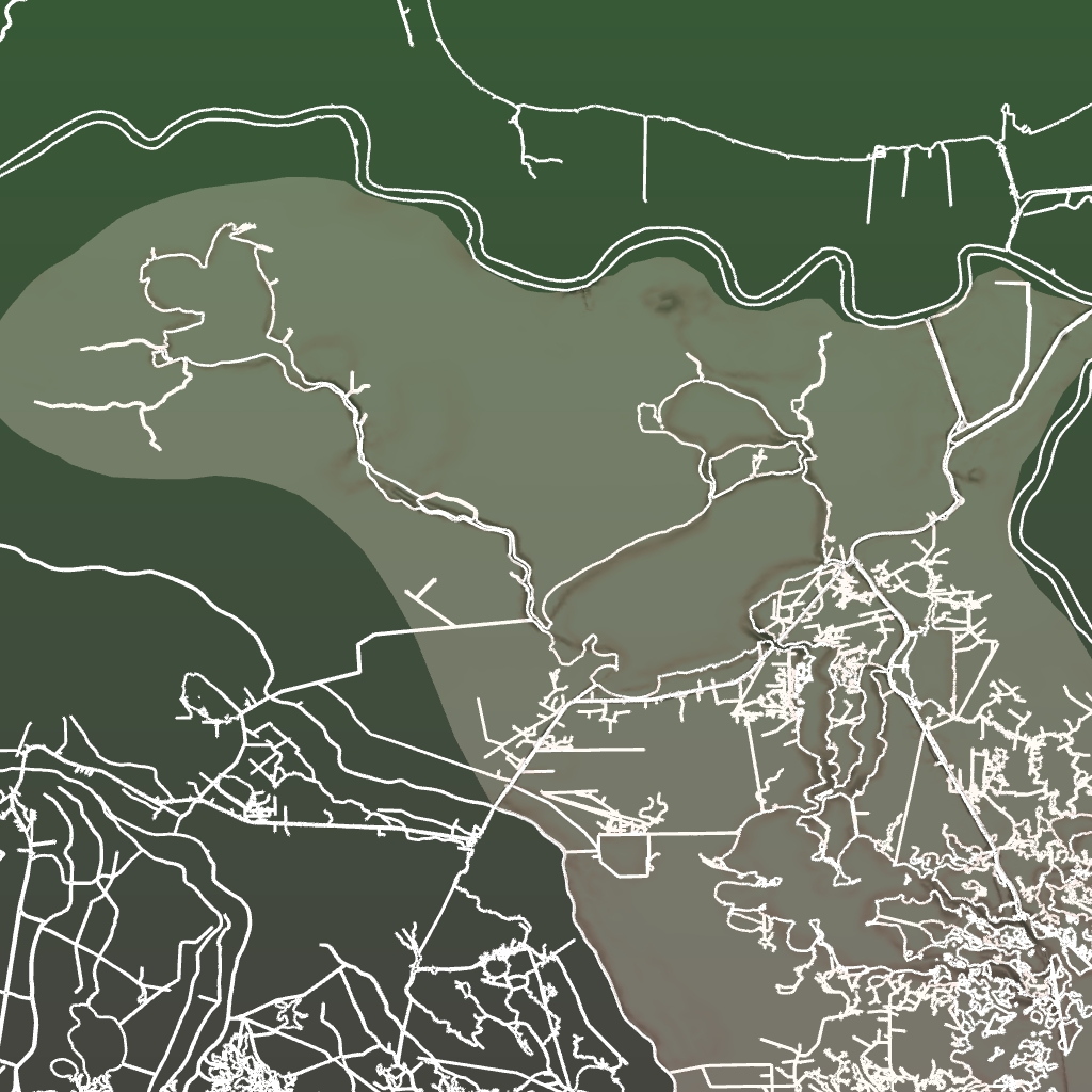
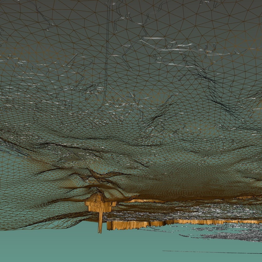
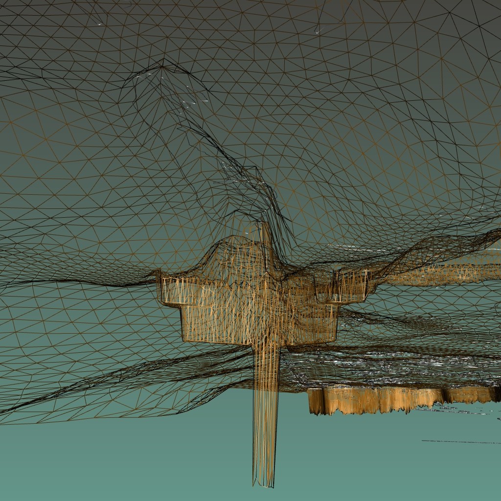
The result is viewed in the vish.
- overview of the region
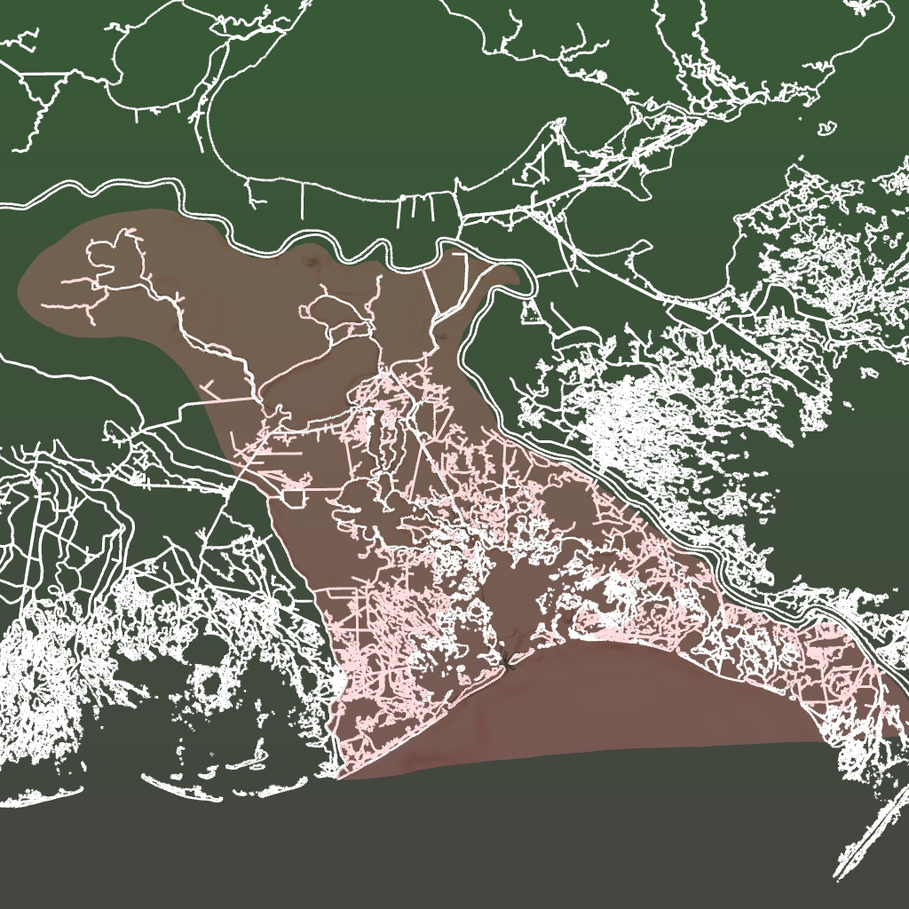 overview of the Baratanria Bay |
 |
|
 |
 Download this page in PDF format