
|
|||||||
|
||||||||||||||||

 |
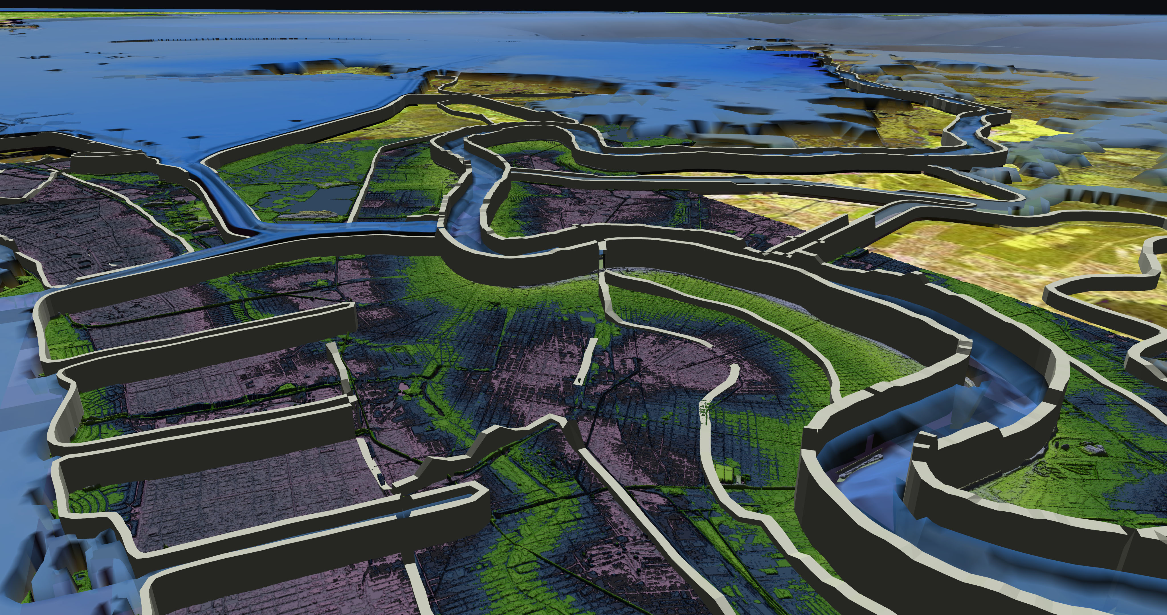 |
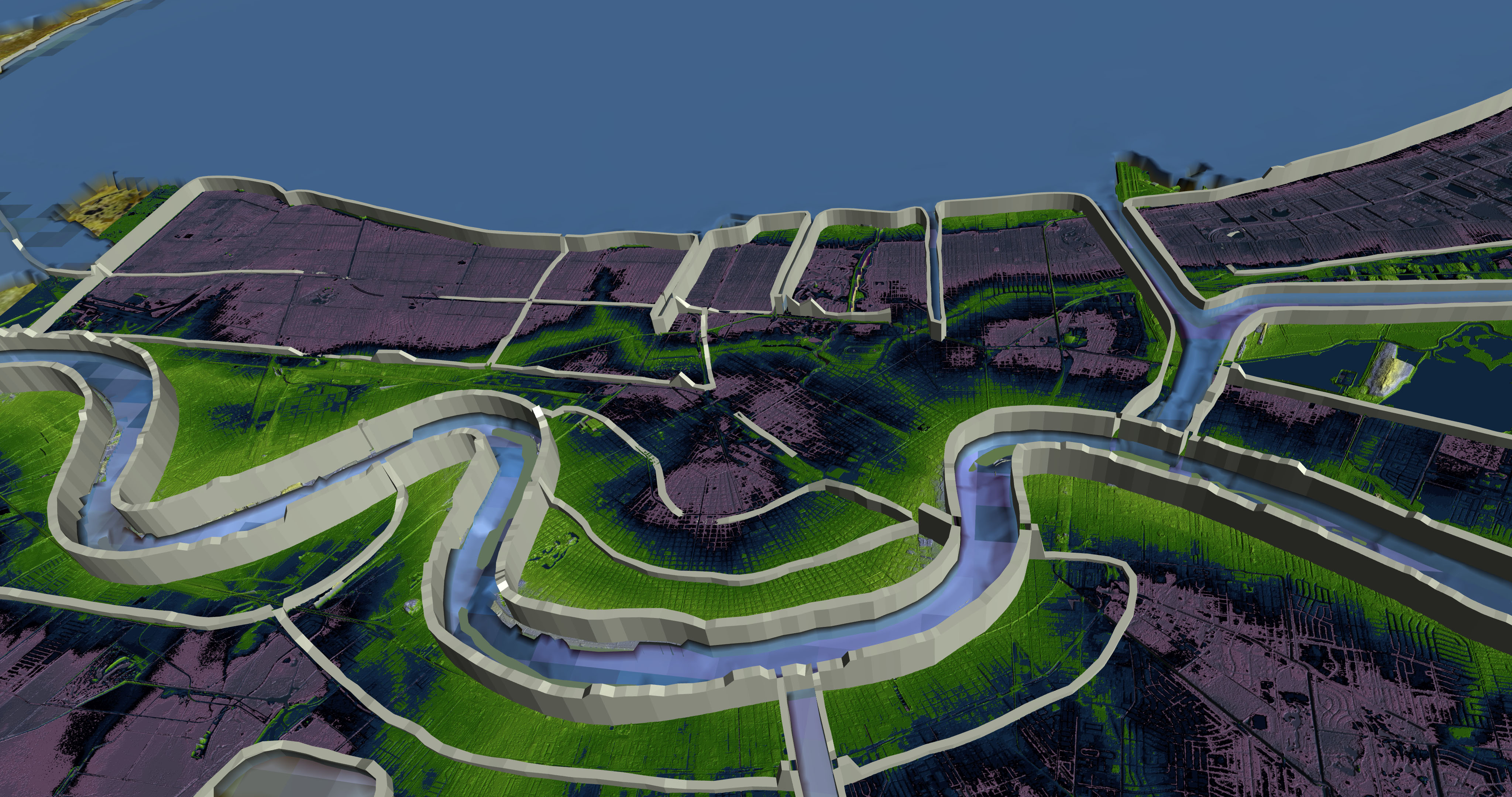
| Click image to see full resolution. |
| New Orleans Lidar Pan pans around New Orleans, the land above sea level is show in green, the land at sea level is blue and the land below sea level is violet. Download movies below by clicking link. |
| Lidar_Pan_ntsc.mov |
| Lidar_Pan_720HD.mov |
| Lidar_Pan_4K.mov |