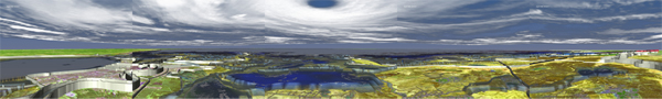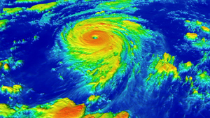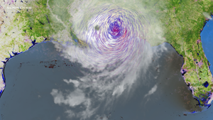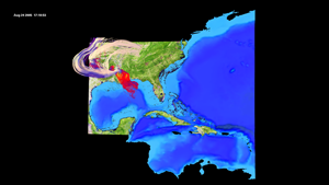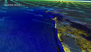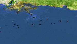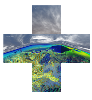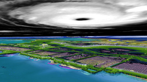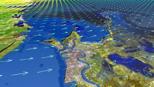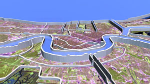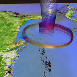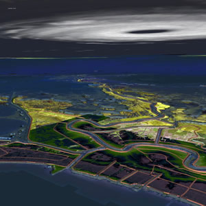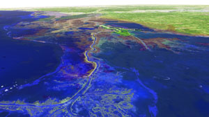
These scientific visualizations of Hurricane Katrina were created at the LSU Laboratory of Creative Arts + Technology (LCAT) by the CCT sci-viz group: Amanda Long, Werner Benger, Ana Buleu, Shalini Venkataraman, and Steve Beck. Currently we have input from various data sources combining the New Orleans LIDAR elevation model, GOES-12 satellite images, MODIS ground images, MM5 atmospheric 3D simulation data (temperature, wind velocity and pressure) and finally ADCIRC surge simulation data. Special thanks to the Earth Scan Lab, Coastal Studies Institute at LSU and the ADCIRC Development Group for providing the data visualized below. A link to an article about our previous work is at http://www.lsu.edu/highlights/062/cctkatrina.html. All images and animations were rendered in hidef and are available for use with our permission. Click the thumbnails to play videos and look at full resolution imagery.